
Trace a Clinton Township Street
A street-by-street search in Clinton Township is an address-record chain, not a single public roster. Start with the physical parcel, called the situs address, and preserve the parcel number and legal description before moving on. The Clinton Township assessment record can point to the named owner and tax mailing address, while the Macomb County map establishes where that parcel sits among lots and subdivisions. A deed search then adds a recorded transfer trail. Historic directory sections can be useful only after the current parcel is tied to the older street form.
Keep the records separate as you search. A deed documents an interest in land. A tax mailing address directs correspondence. A historical directory entry is dated evidence from a particular publication. Those facts can support family-history, estate, or neighborhood research, but they do not prove that every person at an address is present today.
- Enter the address in the Township's property search. Record the situs, parcel number, legal description, owner, tax mailing address, and recent sale details separately.
- Open the same parcel in the Macomb County Parcel Explorer. Confirm the lot, subdivision, adjacent parcel pattern, and any relevant ZIP or district layers.
- Use the owner as a grantee in the Register of Deeds index around the sale date. Capture the seller, recording date, document number or liber/page, and legal description.
- Work backward by searching the seller as a grantee in an earlier period. Switch from street text to lot, block, subdivision, or legal description when needed.
- For a dated household lead, ask the local-history collections whether an address or reverse-directory section covers the relevant volume and place.
When the question becomes one person rather than a whole street, a separate Clinton Township resident lookup can help compare name-based official records without turning an address trail into a household claim.
Search Clinton Township Street Addresses
Clinton Township Property & Tax Data Search directs users to BS&A Online for property, tax, sketch, photo, comparable-sale, and utility information. The official directions make one local detail especially important: enter the address without a suffix such as Drive, Street, or Court. If the address fails, try the street number and base name, an alternate suffix, an older street form, or the remaining portion of the parcel number after the prefilled county prefix.
Use the parcel result as a record card, not a current resident statement. It may display the owner, situs address, mailing address, legal or land information, assessed and taxable values, exemptions, building details, sales, and an ECF Neighborhood label. A mailing address can be a useful lead for following an ownership record, yet it may belong to an entity, trust, agent, or a person who no longer uses the parcel as a principal address.
| BS&A field | Entry method | Clinton Township search note |
|---|---|---|
| Address | Text | Leave off the street suffix in the initial search. |
| Name | Text | Test spelling variants or partial results in the live portal. |
| Parcel number | Text | The first 16-11- numbers are prefilled. |
| Sale date or price | Range | Available in Property Sale Search with optional limits. |
| Grantor or grantee | Text | Optional comparable-sale field, not the deed index itself. |
| Class, area, year built | Filters | Optional property filters for a sale search. |
Note: The official directions did not verify an online historical cutoff or a live ZIP filter for the BS&A portal.
Map a Clinton Township Street
The Macomb County Parcel Explorer is the map layer for a Clinton Township street directory search. Choose Parcels Experience, enter an address or parcel number, or zoom to a block and click a parcel. Parcel boundaries and dimensions, subdivision plats, tax-data links, ZIP codes, school districts, flood zones, natural features, aerial imagery, measurement tools, and printing controls provide geographic context. Aerials are general reference only and may not line up exactly with legal property lines.
For a repeatable street review, use the selected parcel as the anchor, then click the lots that share a boundary or browse at the same map scale. Record parcel IDs and legal descriptions before following names elsewhere. The viewer guide supports search, browse, click, layers, measure, and print; it does not document a radius or automatic neighbor tool.
The Parcel Explorer screen below shows the county mapping source used for parcel and layer work.
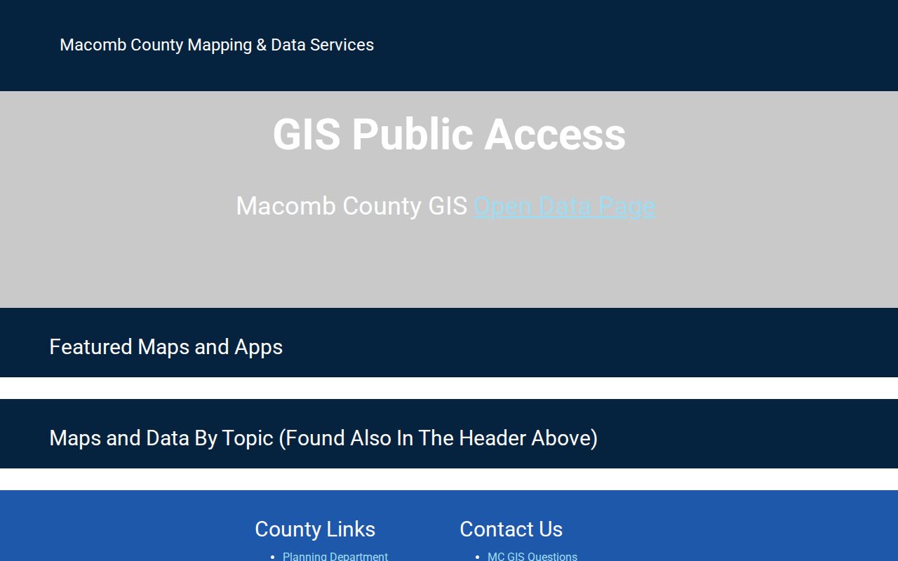
Use the map result to verify a parcel relationship, then confirm ownership and document details with the appropriate custodian.
Read Clinton Township Address Forms
One street number can appear in several forms. GIS, permit, code, school, and modern property work use the situs address, the physical location of the parcel. Tax correspondence and some recorded documents use a mailing address. Deeds, plats, mortgages, and older records rely on the legal description, often a lot, block, and subdivision description that can remain stable even when a street label changes. This distinction is vital at Clinton Township's irregular edges near Mount Clemens, Fraser, and neighboring communities.
- Parcel
- A defined unit of land used in property and tax records.
- Situs address
- The physical street address where the parcel lies.
- Plat
- A recorded subdivision map that connects lots and blocks to the legal land description.
- Criss-cross directory
- An address-ordered directory section that can lead from a historic street number to a dated listing.
Lot, block, and subdivision information is the strongest bridge when a modern Clinton Township address does not match wording in an older deed, map, or directory.
Trace Clinton Township Deed Chains
The Macomb County Register of Deeds search has a free Basic Document Search and a subscription Advanced Document Search. Basic searching is grantor and grantee based. Advanced searching includes address, legal description, parcel ID, and names after full indexing and verification. A blank street search therefore is not a final answer, particularly for older or rural-style descriptions. Compare the parcel's legal description and the parties named in the transaction.
At each link, identify the buyer or grantee, seller or grantor, recording date, document type, legal description, and document number or liber/page. The former owner’s earlier purchase is normally found by searching that seller as a grantee. The county status page cautions that a document may be indexed only under the first grantor or grantee while verification is incomplete. Try both parties, an approximate year, and the legal description before deciding that a record is missing.
The Register of Deeds search-options page documents the basic and advanced routes, public terminals, document access, and mail instructions.
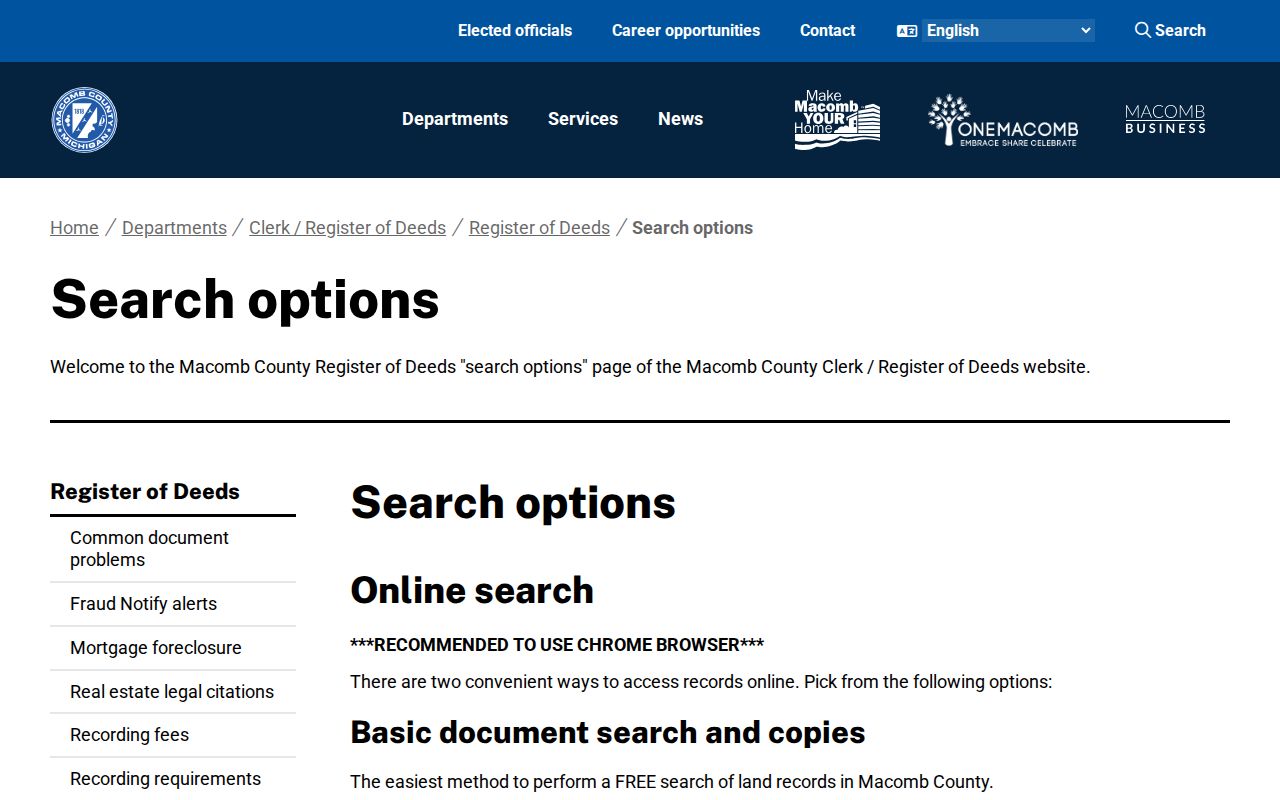
Public terminals at the Register of Deeds allow free index viewing, while an office or mail request is the fallback for a record that cannot be found through the web index.
The Register of Deeds FAQ also identifies the Land File Office and its practical staff-search guidance.
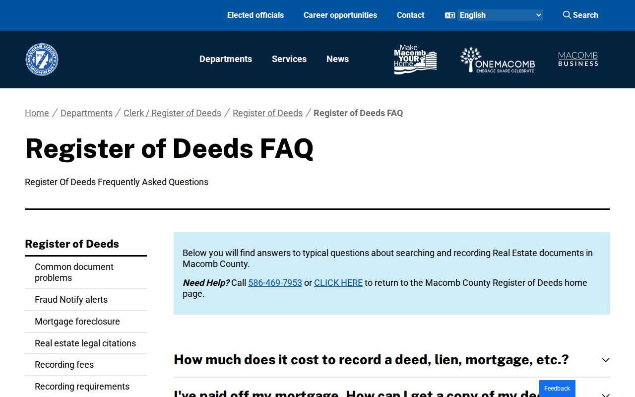
Staff searches are listed at $5 per search and staff copies at $1 per page, so a focused request should include the name, address or legal description, document type, and approximate year.
Clinton Township Street Records
Street records answer different questions. The assessment card ties a parcel to land and tax data. GIS shows the parcel's position and nearby geography. The deed index documents land transfers. A plat can translate an address to lot and subdivision language. Building files may mark construction or enforcement activity. The local clerk and election system handle voter information under identity and disclosure limits. Read each result for the narrow fact it actually supports.
| Address record | Custodian | Street-level value | Route and limit |
|---|---|---|---|
| Assessment and tax card | Clinton Township Assessing / BS&A | Owner, situs, mailing address, parcel, values, taxes, sales | Township-linked public search; online history not stated |
| Parcel GIS | Macomb County GIS | Boundaries, plats, ZIP, district, flood, and aerial layers | Free map; aerial alignment is approximate |
| Deed index | Macomb Register of Deeds | Parties, document type, recording date, legal description, title trail | Free index; image, counter, and mail routes vary |
| Plat or subdivision | Register of Deeds / GIS | Lot, block, easement, and address-to-legal link | Search legal description; older material may need counter review |
| Permit or inspection | Clinton Township Building | Address, project, inspection, and dated activity | Forms online; completed-index coverage not published |
| Historic reverse directory | Library collections | Dated address-to-listing lead | Confirm the volume's place coverage and abbreviation key |
A parcel number and legal description carry the strongest connection from the assessment card to a deed or plat. A familiar street name is useful for search, but it can shift in spelling, scope, or historic form. That is why a Clinton Township street directory trail should preserve the address, parcel, legal description, source date, and document citation together.
Clinton Township Permit Trails
Clinton Township Building supplies permit applications, an inspection-request form, a zoning map, and an ordinance-complaint route. The inspection form asks for a permit number, property address, and contact information. Permit categories include building, electrical, mechanical, plumbing, sign, reroof, fence, sidewalk or approach, temporary structure, and specialized work. Those records can date activity at a parcel, but an applicant or contractor named in a file should not be treated as a current household member.
For a closed permit, inspection log, or address-indexed case file, describe the exact address and date range in a request to the department. The Township says an ordinary written ordinance complaint usually receives an initial inspection within 5 to 10 business days, unless an immediate hazard exists. A completed public permit-search index and its historical coverage were not located in the official material. Michigan FOIA is the documented fallback for a sufficiently described Township or county administrative record.
Note: A permit establishes a dated property event, not ownership, residence, or the identity of every person associated with the work.
Old Clinton Township Street Names
Historic address work needs more than a modern street grid. Clinton Township was originally Huron Township and was later renamed Clinton. Frederick, Marcellus, Quinn, and Cady's Corner are historical locality names that may appear where a modern search expects a township address. The 1782 New Gnadenhutten settlement and the later Village of Frederick belong to a record geography that was rural and river-oriented before modern subdivision patterns. Frederick's 1852 sawmill fire is one reason a search can require newspapers, plats, and maps rather than a single present-day number.
The Township history, county plats, the Parcel Explorer, and Register of Deeds legal descriptions help bridge an old locality or pre-plat phrase to present parcel language. No official Clinton Township readdressing project or street-renaming year was found. Treat a claimed renumbering date as unverified unless the relevant custodian or historical source documents it.
Clinton Township Voter Limits
The Michigan Voter Information Center is a person-specific self-service lookup, not a street export. Its name route requires first name, last name, birth month, birth year, and ZIP. The alternate route uses a driver-license or state-ID number with a residential address. A result can provide registration status, polling place, precinct, ballot, clerk, and related election information for the person who passes the identity check.
For local election records, the Clinton Township Clerk & Elections office maintains election information, precinct maps, archived results, and FOIA access. The Qualified Voter File has public and restricted fields, while protected addresses and sensitive identifiers are not ordinary self-service fields. A ZIP may be part of identity verification, but it does not create a public way to browse an entire Clinton Township street.
Street Directory Limits
Property rolls identify owners and tax correspondents, not every person who may be at a location. Utility accounts, delivery information, and motor-vehicle source addresses are not public resident lists. A voter record can be inactive, canceled, protected, or use a different mailing arrangement. Court captions, business filings, and older directory entries can preserve an address long after it has changed. Always preserve the record date and distinguish a historical connection from a present-day statement.
Michigan's Address Confidentiality Program gives eligible participants a designated address and mail forwarding under state law. Other records, including protected voter fields and sensitive vital data, have their own limits. If a record appears inaccurate, contact the custodian with the document or parcel information and seek correction through that office rather than repeating an unverified result.
Lawful use. Use Clinton Township street records for lawful personal research, civic questions, family history, or an estate matter. Never use address information to stalk, harass, intimidate, or harm another person.